How City of Austin is protecting residents from extreme heat with Google AI
In Austin, Texas, extreme heat causes more fatalities than all other extreme weather events combined. As the city works toward its Climate Equity Plan goal of 50% citywide canopy cover by 2050, leaders are faced with a stark reality: shade is not distributed equally. While more affluent West Austin neighborhoods often enjoy dense tree cover, underserved areas – particularly in communities east of the major interstate highway IH-35 – frequently lack the same protection.
Tracking this progress is a resource-intensive process and large-scale tree canopy modeling is often cost-prohibitive for municipalities. That is why The City of Austin partnered with Google Public Sector. By leveraging Google Earth Engine’s pre-processed datasets, the city can augment existing geospatial workflows—helping them translate complex climate data to practical community action.
Using data to cool off the city
To bridge the gap between high-level climate goals and neighborhood-level results, the City of Austin uses a range of data sources – including high resolution aerial imagery and tree canopy data from Google's Environmental Insights Explorer (EIE) – to inform its work. These tools support the city’s established prioritization process, which is grounded in internal workflows, equity criteria, and community knowledge.

Having a globally recognized third party like Google producing the data helps build trust... allowing people to verify our progress against an objective, global standard.
This approach allows the city to provide more options to residents, including:
- Integrated heat and canopy mapping: Austin uses combined datasets to identify urban heat islands where low canopy cover intersects with high impervious cover.
- AI-powered insights: Google uses high-resolution imagery and machine learning models to identify trees across the city, providing a level of detail that is difficult to achieve.
- Technical validation: Google’s tool serves as a technical check for the city’s in-house metrics, ensuring accuracy while saving significant staff time and computing power.
- Visualizing the future: Using geospatial analysis, the city can show residents the tangible impact of “cool corridors” – testing strategies like tree planting alongside cool pavements and bus shelters.
Transforming data into neighborhood relief
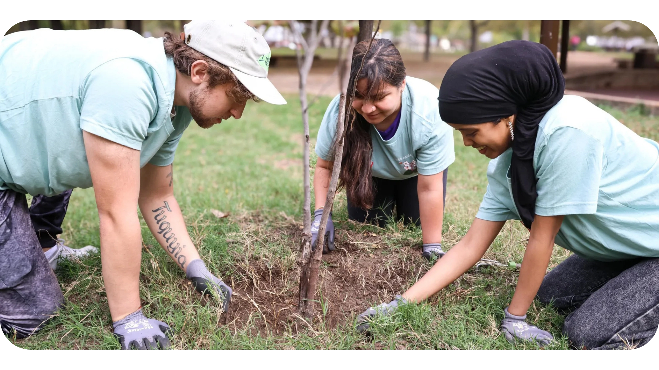
The City of Austin is using data to guide a long-term climate equity strategy, ensuring that three out of every five trees distributed are directed to high-priority, low-canopy neighborhoods. This approach helps address a critical gap where heat impacts – linked to increased rates of asthma and heart disease – are felt most in disadvantaged communities.
Here is how they apply these insights:
- Prioritizing health outcomes: By targeting the highest heat-risk areas, the city aims to lower local temperatures, reduce energy demands, and improve health for vulnerable populations.
- Streamlined distribution: The city uses the Tree Equity Score – a national metric developed by the nonprofit American Forests and informed by Google’s AI-driven tree canopy insights – to bolster its own internal processes around prioritizing where to plant trees, distribute free saplings, and focus educational programming.
- Workforce development: The city incorporates data insights, including the Tree Equity Score, alongside a broader review to recruit for the Youth Forest Council, which provides green career internships to students in the very neighborhoods the city is working to cool.
A sustainable future for every Austin resident
By using AI-powered mapping and high-resolution tree canopy data to help direct support to communities most impacted by heat and limited canopy coverage, the City of Austin is proving that data can be a powerful force for social good. As they look toward 2050, the city is leveraging this infrastructure to ensure Austin remains a livable, equitable home for all its residents.
About Austin Climate Action and Resilience
Austin Climate Action and Resilience works to ensure a thriving, equitable, and resilient community by providing leadership, influencing positive action through engagement, and creating measurable benefits for Austin. The office advances citywide efforts to achieve net-zero greenhouse gas emissions by 2040, build a healthy and just local food system, protect and expand Austin’s urban forest, and strengthen the city’s resilience to a changing climate. Learn more at austintexas.gov/climate.
Explore more Public Sector case studies and solutions

GENERATIVE AI
City of Los Angeles partners with Google to power city operations and enhance employee productivity

DATA ANALYTICS & AI / ML
Connecting residents with high-quality, affordable healthcare at unprecedented speed

GENERATIVE AI
Chicago Transit Authority connects with city: AI chatbot bridges language barriers and empowers riders